Back to Home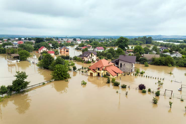
Flood JoeMapper
Flooding is one of the most frequent and damaging natural hazards worldwide, affecting millions of people and causing massive economic losses. Flood JoeMapper helps decision-makers identify and predict flood-prone regions anywhere in the world using Earth observation data and machine learning.
- • 1.81 billion people live in areas exposed to significant flooding in a 1-in-100-year event, most in low- and middle-income countries. (World Bank)
- • Climate variability and rapid urban growth have increased exposure and vulnerability in many low- and middle-income regions. (UNDRR)
- • Flood risk prediction tools like Flood JoeMapper enable faster preparedness, improved resource allocation, and better mitigation strategies before disaster strikes. (World Bank)
How the Dashboard Works
1Choose Your Area
Search by place name or upload a .geojson file to set your Area of Interest (AOI).
2Run Prediction
Click Predict Flood Risk. The system prepares inputs and starts the analysis for your AOI.
3Model & Results
Behind the scenes, ML models combine EO data and terrain factors to map areas with higher flood risk within your AOI.
4Download Your Map
Export the flood risk map as .png or GeoTIFF (.tif) and continue analysis in GIS tools like ArcGIS or QGIS.